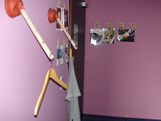
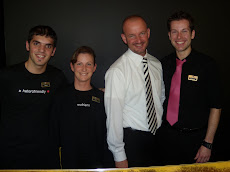
Unique elevator at Fleming's Hotel, Frankfurt
Preview of Gay Games 2010 in Cologne
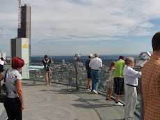
Tour atop Frankfurt's Maintower
Frankfurt Maintower Tour Part II
Interview with Anne-K. Jung, of Berlin's gay museum, the Schwules Museum
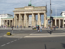
Brandenburg Gate
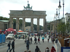
Brandenburg Gate
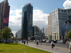
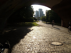
Frankfurt Skyline
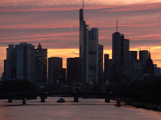
Frankfurt skyline
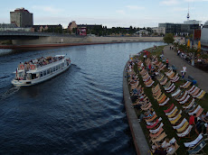
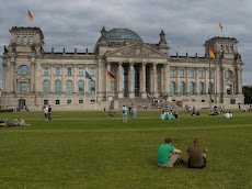
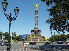
Berlin
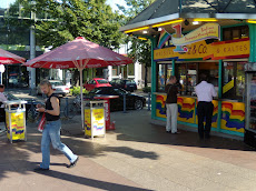
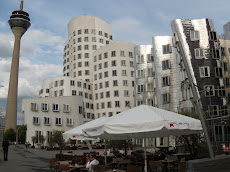
Gay sidewalk cafe in Berlin
Frankfurt
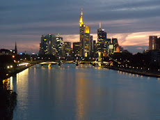
Frankfurt skyline
Hitler's Bunker site. (Berlin Free Tours)
Berlin Wall (Berlin Free Tours)
script src="http://flash.revver.com/player/1.0/player.js?mediaId:1848466;affiliateId:100355;backColor:#000000;frontColor:#ffffff;gradColor:#000000;width:480;height:392;" type="text/javascript">
Colonge Cathedral
Checkpoint Charlie
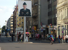
site of what used to be Checkpoint Charlie between East and West Berlin
European Central Bank
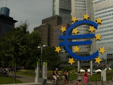
European Central Bank, Frankfurt
Frankfurt's Old Town
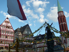
Frankfurt's Old Town
Frankfurt
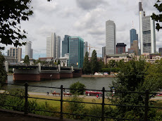
Frankfurt skyline
Berlin's Holocaust Memorial
Berlin
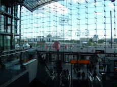
Berlin's Main Train Station
Gay Island, Munich

Detailed directions on how to get to the gay island in Munich
Thanks to Munich resident Hiren Suri for these directions and map links:
Directions to Flaucher (Gay island)Frm the U-Stn Thalkirchen(U3 towards Fürstenried west frm Sendlinger Tor)walk towards the east (See map links below) Excatly on the point B you see below an exit going downwards, its got no street name but its excatly in the middle of the river dividing the river.(See other map showing the green pointer)-pls avoid the A there....so u take that exit at the green pointer and then walk towards the north on the right hand side of this curved path, if you keep walking towards North you will reach Flaucher and while walking on that road you will come across these places for crusing(See another map which shows you 1 green point north where the island Flaucher is)
RoutenplanerLink: <Startadresse" target=_blank>http://maps.google.de/maps?f=d&source=s_d&saddr=Tierparkstra%C3%9Fe&daddr=48.100829,11.549117&hl=de&geocode=FUv33QIdpDGwAA%3B&gl=de&mra=mi&mrsp=1&sz=19&sll=48.100922,11.548581&sspn=0.000779,0.00239&ie=UTF8&ll=48.100922,11.548581&spn=0.001558,0.00478&t=h&z=18>Startadresse:
TierparkstraßeZieladresse: TierparkstraßeStart in: Tierparkstraße1. Ost auf Tierparkstraße Richtung Am Isarkanal - 0,2 kmAnkommen in: TierparkstraßeDiese E-Mail wurde durch einen Nutzer in Google Maps (maps.google.de) an Sie gesendet.
Link: <http://maps.google.de/maps?q=48.100745,11.549109&t=h&sll=48.101361,11.546507&sspn=0.014904,0.032015&gl=de&ie=UTF8&ll=48.100931,11.549109&spn=0.000754,0.00239&z=19&iwloc=near>
Isar River Map Link: <http://maps.google.de/maps?q=48.105912,11.55413&t=h&sll=48.101334,11.549367&sspn=0.003016,0.009559&gl=de&ie=UTF8&ll=48.103706,11.553755&spn=0.006033,0.019119&z=16>

